Monday, March 27, 2023

Current

Hello to all my regular readers! I know there are a number of you out there.
Thank you for your interest. 
 I had better get this blog up to date.  It has been a long time, but then a lot has happened.
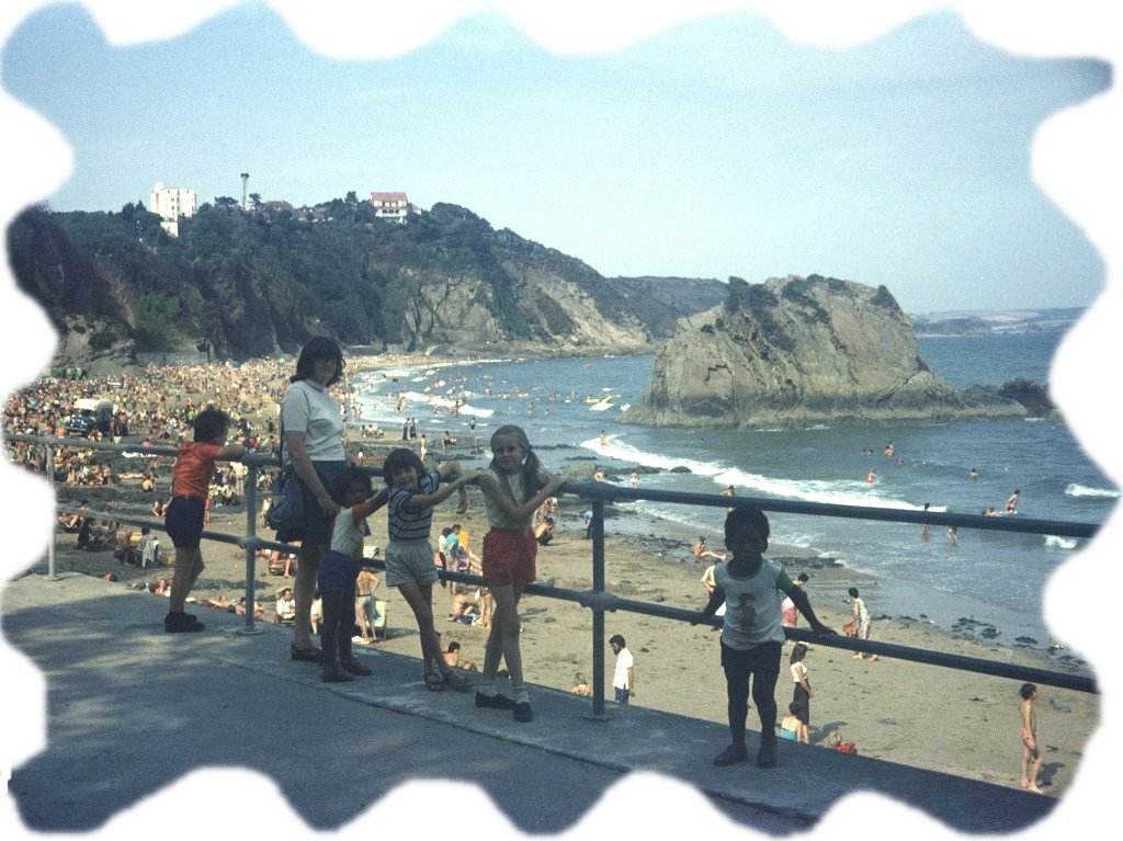
We have a lot to be proud of since we started this trek in 1998.  We have walked nearly four thousand miles along the coast.  During that time I have had five operations on my legs and Colin has had three on his bladder.  We have had to contend with Foot & Mouth restrictions, financial problems when a mortgage got out of hand, bereavement and Covid restrictions.  Still we carried on when we could, but all the time we were getting older.
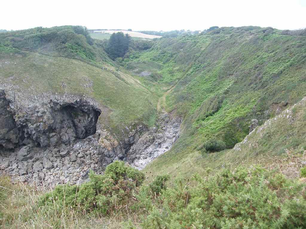
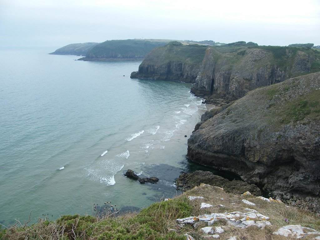
 By September 2021 we had reached Manorbier in South Pembrokeshire.  I had found the last few Walks extremely difficult, and on the way back from this particular Walk I had a near-collapse.  I realised that age and infirmity had overtaken me, and regrettably we decided to throw in the towel!  I could no longer cope with the roller-coaster nature of the coastal path.
My husband and walking companion, Colin, was also giving cause for concern with strange behaviour quirks.  But it was not until October 2022 that he was diagnosed with a rare form of Alzheimer's.  Since then he has gone rapidly downhill.  He can no longer drive, and walks only short distances in a shuffle.  His short-term memory is completely gone, he cannot take part in a conversation, he cannot remember even the layout of our home, thinks I am someone else and thinks he's not at home when he is.  He cannot carry out simple tasks like making a cup of tea.  He was also diagnosed with atrial fibrilation last October, and recently with heart failure which caused his hands and feet to swell alarmingly.
But all is not lost -- because my nephew, Gerry Clifton, has asked if he can start at Manorbier and complete our Trek back to Bognor Regis!  (He is only 30, so he has plenty of time before old age catches up with him!)  I was delighted to say "Yes!" so long as he takes loads of photos along the way so we can see the places we can no longer visit.  Hopefully he will also take over this blog.
Good luck, Gerry!
To all my readers, thank you for your interest in our venture.
Rosemary
PS  Go to   www.bognorregisbeach.co.uk  to see what is happening NOW just left of Bognor Pier! (On the website, click on  'Live Webcam')

Sunday, September 12, 2021

Walk 400 -- Amroth to Pendine (No.5 of the new setup)

 Ages: Colin was 79 years and 127 days. Rosemary was 76 years and 269 days. 
Weather: Very wet. 
Location: Amroth to Pendine. 
Tide: Out. 
Rivers: None. 
Ferries: None. 
Piers: None. 
Pubs: None. 
‘Cadw’ properties: None. 
Ferris wheels: None. 
How we got there and back: We were staying in our caravan at Freshwater East. After visiting Laugharne we paid a quick visit to Pendine, but didn't stay because it was pouring with rain. 
(We visited Laugharne and Pendine in the wrong order in our efforts to avoid roadworks traffic lights, but in actual fact we got rather lost!) 
The following May we visited Pendine again because we felt we hadn't done it justice. The weather was much better and we walked on the famous sands for a bit. 
 
We drove into Pendine in the teeming rain at the end of a very long day. We parked momentarily while I nipped out of the car and took just one quick photo of the famous sands. Then we returned to the caravan. 
We really felt we hadn't done Pendine justice. So eight months later, when we were in the area again, we returned. The weather was much better that day. Colin wanted to visit the Museum of Speed, but we found that it was being rebuilt and it was only half finished. So he was disappointed.
 
The Coast Path leaves Pembrokeshire where it leaves Amroth, and enters the county of Carmarthenshire. The four miles between Amroth and Pendine show very close contours on the map — up and down, up and down. I couldn't possibly have walked it in any weather in my present state of mobility, I realise that now. We looked at the cliffs from the sands, in particular at the steepness of the path coming down into Pendine. Despite my fantastic replacement knees, I can't do steep slopes downwards like that anymore.
 
In the early 1900s the sands were used as a venue for car and motor cycle races. From 1922 the annual Welsh TT motor cycle event was held at Pendine Sands. The firm, flat surface of the beach created a race track that was straighter and smoother than many major roads of the time.
 
The first person to use Pendine Sands for a world land speed record attempt was Malcolm Campbell. On 25 September 1924 he set a world land speed record of 146.16 mph on Pendine Sands in his Sunbeam 350HP car Blue Bird. Four other record-breaking runs were made on Pendine Sands between 1924 and 1927; two more by Campbell, and two by Welshman J. G. Parry-Thomas in his car Babs.
Campbell raised the record to 174.22 mph in February 1927 with his second Blue Bird. On 3 March 1927 Parry-Thomas attempted to beat Campbell's record. On his final run while travelling at about 170 mph the car crashed. There is an untrue urban myth that the exposed drive chain broke and partially decapitated him;  Babs went out of control and rolled over Parry. 
The Ministry of Defence acquired Pendine Sands during the Second World War and used it as a firing range. The beach is still owned by the Ministry of Defence; prominent signs warn of the dangers of unexploded munitions and public access is restricted. 
We walked for a bit on these famous sands, but didn't go very far beyond the Ministry of Defence warning notice. At least we were able to take the photos we hadn't been able to last September.

Friday, September 10, 2021

Walk 399 -- Saundersfoot to Amroth (no. 4 of the new setup)

 Ages: Colin was 79 years and 125 days. Rosemary was 76 years and 267days. 
Weather: Cloudy. 
Location: Saundersfoot to Amroth. 
Tide: Out. 
Rivers: None. 
Ferries: None. 
Piers: None. 
Pubs: None. 
‘Cadw’ properties: None. 
Ferris wheels: None. 
How we got there and back: We were staying in our caravan at Freshwater East. After visiting Saundersfoot we drove on to Amroth via Wiseman's Bridge. 
 
We drove on from Saundersfoot to Wiseman's Bridge, initially. There we parked momentarily so I could take a couple of photos.
 
Then we drove on to Amroth and parked by the “castle”. 
That was a disappointment — the “castle” turned out to be an ordinary house with battlements as a decoration, and the whole complex had been turned into a holiday park with wooden chalets everywhere.
 
I expect we could have walked there via Wiseman's Bridge from the tunnels at Saundersfoot because it was only about two miles, and it was fairly flat because it was a cycleway. But we would then have had to walk back, it was the end of the day and we were tired. So we didn't.
 
To tell the truth, we were losing heart.

Walk 398 -- Tenby to Saundersfoot (no.3 of the new setup)

Ages: Colin was 79 years and 125 days. Rosemary was 76 years and 267days. 
Weather: A little drizzle. Mostly just cloudy. 
Location: Tenby to Saundersfoot. 
Tide: Out. 
Rivers: None. 
Ferries: None. 
Piers: None. 
Pubs: None. 
‘Cadw’ properties: None. 
Ferris wheels: None. 
How we got there and back: We were staying in our caravan at Freshwater East. We drove to Waterwynch Bay, Monkstone Point and Saundersfoot from there. 
 
About a mile north of Tenby lies
Waterwynch Bay where we took our kids for a holiday in a static caravan way back in 1976. They were aged 3,4,6 and 8, and we all had a wonderful time on that little sandy beach. We tried to drive down there today despite the fact a notice told us the lane was closed “except for access”, but it just got more and more narrow until it turned into a footpath. We turned round with great difficulty and retreated to the main road. We'll just have to continue to live on our memories.
 
About a mile further on is
Monkstone Point. Back in 1976 we came here several times and accessed the beach by sliding down a huge rock set at a 45ยบ angle. The children thought it was thrilling! Today we drove down the lane towards it and found it to be slightly wider and less potholey than the lane to Waterwynch Bay. We came to a notice which read “No beach parking beyond this point”. So we parked in the layby there and booted up. We continued to walk the last quarter of a mile.
 
The farm there is now a caravan site. We walked through the edge of it and across a field. Through a gate was a junction of paths — we were on the Coast Path. The path to the left led steeply downhill towards Saundersfoot. The path to the right led even more steeply downhill to the beach. So we took the middle path in the hopes of getting out on to the Point to see the view. But it got steeper and steeper until I called a halt and said I didn't want to go any further — I didn't want to have to climb back up that hill!
Colin said, “
There's a view just here on this path through the hedge!” And sure enough the path led to a hidden cliff top after only a few yards, and there was a lovely view of the cliff further on and a tiny beach below.
 
Then Colin said, “
There's a grave here, I think it's a dog!” The inscription said, “S.G. You'll always be our Everglow RTRT XXXX” We reckoned someone's pet dog ran through the gap in the hedge not realising the cliff was there and tumbled down it to it's death. There were some fresh-cut flowers on the grave too, very sad. As we returned up the path we met a group of people with several dogs, not all of them on leads. So we warned them about the cliff edge just through the hedge. They thanked us and pulled their dogs to.
 
Back at the junction we noticed a higher path going off to the right — it was behind a hedge so we hadn't noticed it coming down. It led upwards through a wood, and it was on the very cliff edge. It was quite steep and slippery in places, not a nice path. We followed it up to a gate which led into a field where it was flatter. It was, of course, the coast path coming from Tenby. There was now a thick high hedge between us and the sea view.
We walked to a corner hoping we would get a view there, but there was only a notice saying the path was closed due to landslides, and to follow a new route round the edge of the field. At that point it started to drizzle, so we put on our kags and returned to the car — across the field, not that steep and slippery path through the woods.
 
Quite a number of people were out walking the coast path today — and all of them were a lot younger than us!
 
I didn't want to go to Saundersfoot because the only other time I have ever been there, in 2015, we had a very unhappy experience. Suffice it to say it involved our grandchildren and our daughter-in-law. I remember sitting on the sea front crying my eyes out every time I saw a three-generation family enjoying themselves, or children happily playing with their grandparents. Colin was upset, but he didn't take it as badly as I did. I have never been so upset about anything in my life. But we went today, and despite those unhappy associations it wasn't so bad. 
The first car park we tried was full, and so was the second on the harbour. But then a car behind us left, so we hurriedly backed into its space — we were in! Saundersfoot was heaving! But the tide was right out, leaving the harbour quite dry, and down on the wide sandy beach it wasn't so bad.
 We started our walk by the harbour because that is where the coast path from Tenby comes down into Saundersfoot. We walked along the front and then down on the beach for a while where Colin found a little crab.
 
We rounded a big rock, and then went up to a car park and restaurant complex. We wished we'd parked there because that car park was only half full — and cheaper!
 
We'd seen the Coast Path disappear into a tunnel on its way to Amroth, so we just
had to follow it!
We walked through two tunnels neither of which was lighted.
The second tunnel was quite long and a bit spooky in the middle as we had no torches. We came out to a view towards Wiseman's Bridge and Amroth.
 
We turned round there and returned to Saundersfoot the way we had come. We bought ice creams and sat on a bench facing the sea to eat them in true grockle style!

Thursday, September 09, 2021

Walk 397 -- Lydstep Haven to Tenby (no.2 of the new setup)

Ages: Colin was 79 years and 124 days. Rosemary was 76 years and 266 days.
Weather: A lot of rain. Brighter pm.
Location: Lydstep Haven to Tenby.
Tide: Out.
Rivers: None.
Ferries: None.
Piers: None.
Pubs: The Hope & Anchor in Tenby where Colin drank Harbwr 'North Star', Harbwr 'MV Enterprise' and I had a shandy.
‘Cadw’ properties: None.
Ferris wheels: None.
How we got there and back: We were staying in our caravan at Freshwater East. We drove to Penally from there.
 
We didn't walk between Lydstep Haven and Penally, and there were no access points for the car on that stretch. So we drove to Penally and parked in the station car park. From there we walked across the dunes on a good path to the beach. The coast path had come from Lydstep Haven past Proud Giltar, Valleyfield Top and Giltar Point for about three miles to where we stood on 'The Burrows'. 
We walked just over a mile along a firm sandy beach into Tenby. We really enjoyed it despite the drizzle. In Tenby we got lost because we had forgotten to bring a street map. We had noted castle-type walls and walked through an impressive gateway — Tenby must have been a fortified town in times gone past.
We remembered coming to Tenby for the first time in 1976 with our four children. We were impressed with the lovely beach, but found it to be crowded even in those days.
 
It had been lightly raining ever since we started walking, and we began to get a bit fed up. Tenby was heaving! Foreign holidays have been a 'no-go' for most people this year because of the pandemic, so everyone has been rediscovering our own country. We began to despair of finding a cafรฉ for lunch, there were queues outside most establishments because they still have to have the tables a certain distance apart by law, therefore they can only serve a reduced number of customers at any one time. (Like everyone else we are cheesed off with all these restrictions on our freedom which have been going on for eighteen months now. When will this wretched pandemic come to an end?) But we were lucky today because we did find a small cafรฉ with no queue outside. It was thin and narrow inside and they were very busy, but we were able to go straight in and had a lovely lunch at a very reasonable price. 
It had stopped raining by the time we came out, that was good! With difficulty we found our way to the sea, but we were high up on a rock and couldn't see our way down. What we could see was what we thought was the coast of Devon on the horizon! The visibility suddenly improved and we could see what we thought were the cliffs between Minehead and Porlock with some clarity. But at a later date we looked more carefully at the map. Tenby faces east, not south, and the Devon coast is much too far away. What we could actually see were the cliffs behind Rhossili Beach on the Gower!
 
We got lost again in the town and discovered we had walked round in a complete circle! Colin got very grumpy. Eventually we found our way down to the harbour where we sat on a bench to overlook the scene.
No sooner were we settled than it started raining again quite hard. Feeling rather damp, we went to the real ale pub Colin was dying to get to. Fortunately the lunchtime rush was over and there was no longer a queue.
 
When we came out about an hour later, we managed to find our way down a load of steps to a beautiful sandy beach. From there we power-walked all the way back to Penally Station where our car was parked.
We were glad to leave Tenby behind — lovely beach but too many people. (I have a fear of crowds, ever since our “drone” experience at Gatwick in December 2018 where the departure lounge got so crowded people were even sitting on the floor in the toilets! After twelve hours we were all told to collect our luggage and go home.  It was chaos!)

Wednesday, September 08, 2021

Walk 396 -- Manorbier to Lydstep Haven (no.1 of the new setup)

Ages: Colin was 79 years and 123 days. Rosemary was 76 years and 265 days.
Weather: Cooler and dull. A little rain at times.
Location: Manorbier to Lydstep Haven.
Tide: Out.
Rivers: None.
Ferries: None.
Piers: None.
Pubs: None.
‘Cadw’ properties: None.
Ferris wheels: None.
How we got there and back: We were staying in our caravan at Freshwater East. We drove to Manorbier, Skrinkle Haven and Lydstep from there.
 
We “finished off” Manorbier by walking down to the beach from the bench overlooking the beach where we had finished the last Walk. I remembered coming here back in 1976 with our four children and finding loads of starfish all over the beach. I have never seen them before or since. So we started looking for them amongst the rocks. We didn't find any, but we did find lots of limpets and barnacles.
It was nice just to stand and watch the lapping waves on the sand. That is very calming. I was still very upset about having to give up the Coastal Trek. We noted the continuation of the coastal path working its way up towards a headland called Priest's Nose. I was wishing we could continue up there, but I knew it wouldn't be any good. I can't do it anymore!
I took a better picture of Manorbier Castle from the beach. It looked more imposing than the picture I took from the car park last time. The castle is privately owned so we didn't visit it.
We drove on to Skrinkle Haven past the Youth Hostel which Colin and I stayed in once. Beyond Priest's Nose the Coast Path turns inland to miss out Old Castle Head which is still an artillery range and therefore out of bounds. The path passes the main gate on the road we were driving along, and follows the road for a few yards. Then it cuts through a hedge and runs parallel to the road before undulating away towards Lydstep Haven.
We parked at Skrinkle Haven (love the name!) where we had spectacular views of the cliffs along that bit of coast. Also excellent views of Caldey Island and remembered a visit there with our children back in 1976. That year we 'discovered' Pembrokeshire and had one of the best holidays ever with our children, then aged 8, 6, 4 and 3. We were all awestruck!
We drove on to Lydstep Point car park which is down a narrow lane full of potholes. There we had sweeping views along the coast back towards Manorbier. We noted that the Coast Path plunged into a deep cleft before rising up to Lydstep Point. We watched some walkers struggling down and then up, and I must admit we both felt rather smug that we weren't amongst them!
The Wales Coast Path misses out Lydstep Point and once it has risen out of the cleft it goes straight down a road to Lydstep Haven. This is a great pity. We walked all round Lydstep Point looking at the fantastic views in all directions. It is high up, flat, and very much to our liking.

From the car park we walked down the road to Lydstep Haven Beach. We had to access the National Trust car park at the top along a narrow lane full of the most horrendous potholes. But this good road to the beach is privately owned and has a barrier at the bottom with a keypad, so we couldn't use it.
Lydstep Haven beach is a half mile crescent, sandy at the far end. Accommodation is mostly static caravans and chalets for summer lets. We spent a pleasant half hour sitting at a picnic table watching the sea, and looking out towards Caldey Island.
By the end of the day my body was telling me that I was doing the right thing, but in my mind I am still very disappointed that I can no longer do the actual walking. It's going to take a long time to come to terms with this.